Unbranded
Vintage Official NY State Topographic Map Griffin Hope Valley West Day Stony
Vintage Official NY State Topographic Map Griffin Hope Valley West Day Stony
Regular price
$39.99 USD
Regular price
Sale price
$39.99 USD
Unit price
per
Shipping calculated at checkout.
Couldn't load pickup availability
Welcome to my listing for:
Vintage Official NY State Topographic Map Griffin Hope Valley West Day Stony
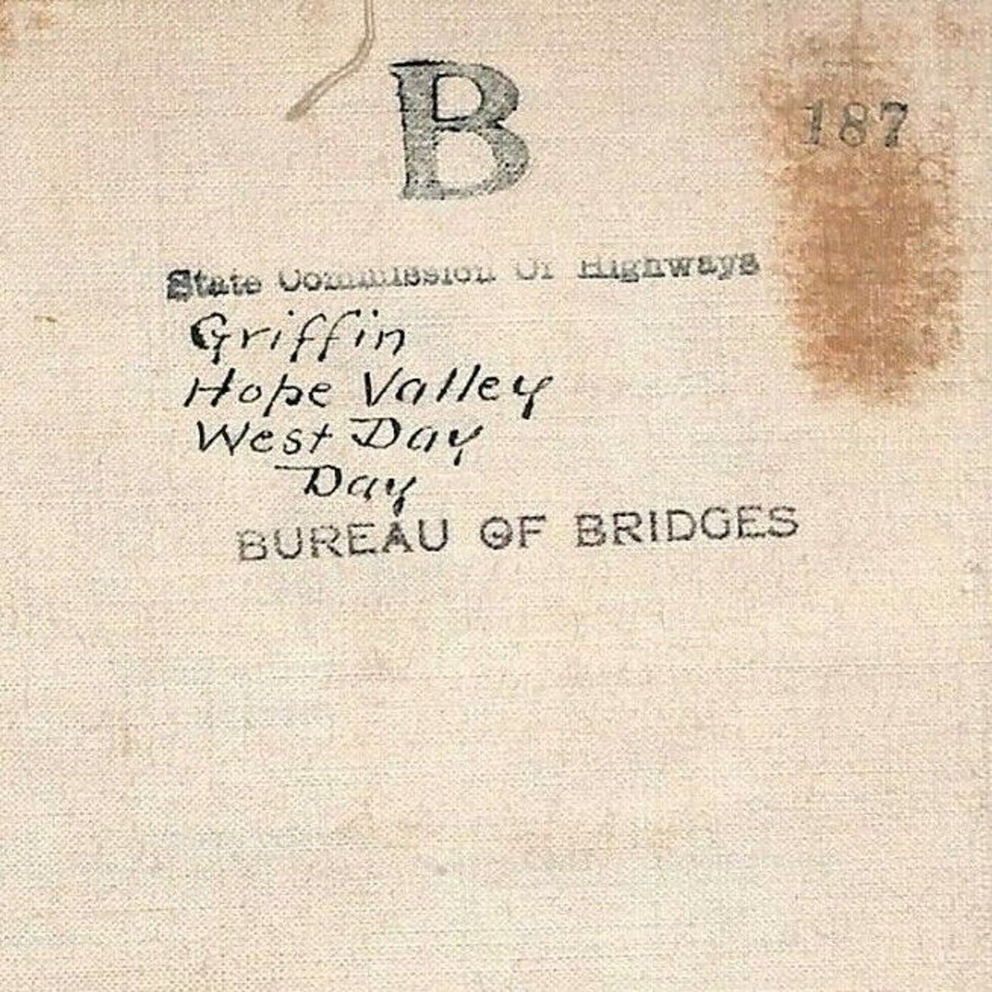
This is a canvass backed section of a very large official New York State Commission of Highways - Bureau of Bridges U.S.G.S. topographical map that has been highlighted by hand mostly to indicate bridge locations.
It appears to have been made for "on location" field use - outside the office. As you will notice in the photos, the sections fold neatly (and came to me originally stored as a set with other sections to lay out a larger grid in a custom heavy duty box that is not included with the map)
It's undated - my guess is c1920's-1940's - Any map experts out there?:)
Constructed to be handled and folded often so it's not delicate. Showing only minor signs of age, use and handling. The sections are firmly affixed to the canvass and are in good to very good condition. IMHO, any minor issues that it may have only adds to it's character and appeal.
It's an unusual, highly decorative piece that will display very well anywhere. Pin it to a wall, frame it, place it behind your other display items on a shelf, buy multiple sections and make a project out of it:)
Unfolded, it measures approx.13" x 17 1/2" Folded, it measures approx. 4 3/4" x 8 1/2"
I have dozens of sections and should have them all up for sale here on eBay by the end of February 2022.
Vintage Official NY State Topographic Map Griffin Hope Valley West Day Stony
This is a canvass backed section of a very large official New York State Commission of Highways - Bureau of Bridges U.S.G.S. topographical map that has been highlighted by hand mostly to indicate bridge locations.
It appears to have been made for "on location" field use - outside the office. As you will notice in the photos, the sections fold neatly (and came to me originally stored as a set with other sections to lay out a larger grid in a custom heavy duty box that is not included with the map)
It's undated - my guess is c1920's-1940's - Any map experts out there?:)
Constructed to be handled and folded often so it's not delicate. Showing only minor signs of age, use and handling. The sections are firmly affixed to the canvass and are in good to very good condition. IMHO, any minor issues that it may have only adds to it's character and appeal.
It's an unusual, highly decorative piece that will display very well anywhere. Pin it to a wall, frame it, place it behind your other display items on a shelf, buy multiple sections and make a project out of it:)
Unfolded, it measures approx.13" x 17 1/2" Folded, it measures approx. 4 3/4" x 8 1/2"
I have dozens of sections and should have them all up for sale here on eBay by the end of February 2022.